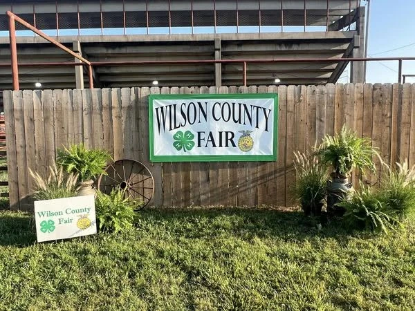
The Wilson County Fair returns to Fredonia July 17-26 with more than a week of livestock shows, 4-H and open class exhibits, competitions, and family activities.
The fair opens July 17 with the 4-H Clothing and Style Revue, followed by several days of judging, exhibit check-in, and the 4-H Horse Show. Livestock events begin Thursday with the Rabbit and Poultry Show and Swine Show.
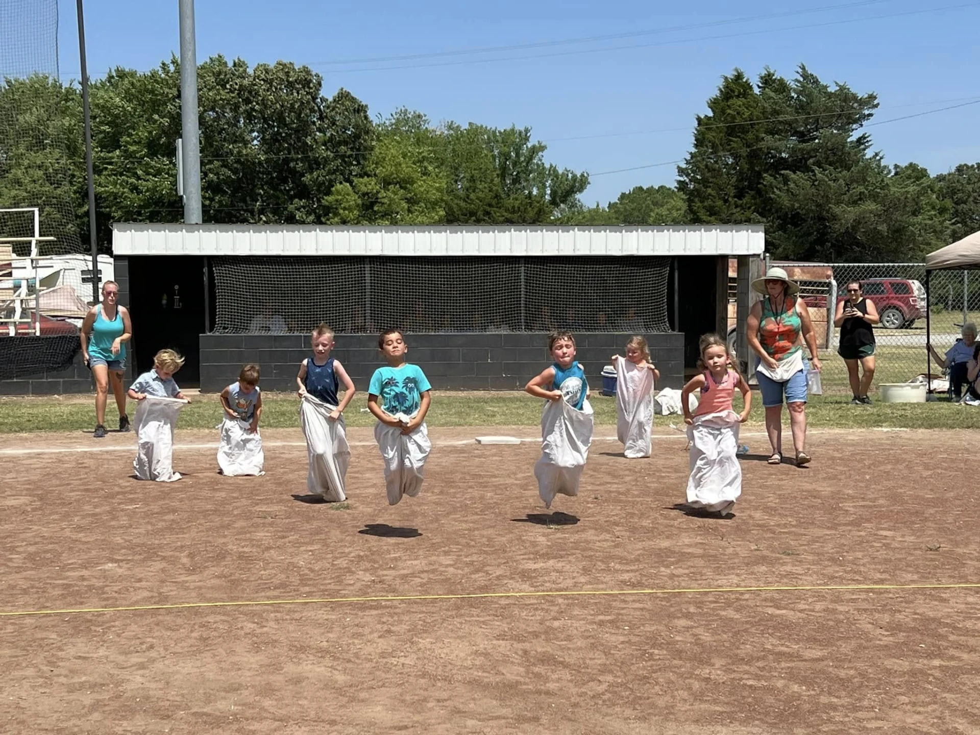
Friday features the 4-H and Open Class Dairy Cattle, Dairy Goat, and Bucket Calf Show, followed by the Market Goat and Sheep Shows. Saturday includes a Pancake Feed, Farm Bureau Pedal Pull, Watermelon Feed, Critter Parade, and the Beef Show.
The fair concludes Sunday with Round Robin Showmanship, trophy presentations, and the annual 4-H/FFA Livestock Sale, celebrating the hard work and achievements of Wilson County youth.