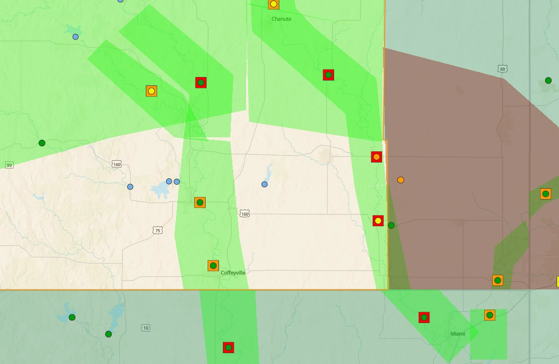
Here are the latest river forecasts and flooding concerns for area rivers in the KGGF listening area:
Moderate Flooding:
Verdigris River at Altoona – 21 feet by this afternoon.
-
21 - Flood waters begin to threaten outlining facilities of the city's water plant. Water Plant's clearwell may become flooded.
Verdigris River near Lenapah – 32.10 feet by this evening
-
32 - moderate flooding affects mainly farmland and rural roads. State Highway 10 is threatened by high water at a point 5 miles east of Lenapah.
Neosho River at Erie – 35 feet by this afternoon
-
33 - The road 7 miles northwest of Erie at 190th Road just west of Big Creek becomes flooded.
Neosho River near Parsons – 25.7 feet by Saturday evening
-
23 - Flood waters spread over fields to a distance of 1 and one fourth miles. Several county roads, mainly along the left bank are inundated. Several residents which live along the right bank in the vicinity of Highway 400 may experience water entering their homes at basement levels.
Neosho River at Oswego – 22.5 feet by Saturday afternoon
-
22.5 - Riverside Park Drive floods from east of Xavier Road, just south of the river gage bridge, to 100 yards east towards the water plant.
Neosho River near Commerce – 20.5 feet by Sunday afternoon
-
20 - moderate agricultural flooding occurs. Riverview Park experiences moderate flooding. State Highway 125 near the fairgrounds will be closed.
Minor Flooding:
Fall River at Fredonia – 24.3 feet by this afternoon
-
17 - Flood waters backup into residential yards located 1 mile south of Fredonia near the gage site off of Highway 96. Expect bank overflows on both banks.
Verdigris River at Independence – 35.5 feet by Saturday afternoon
- No impacts
Verdigris River near Coffeyville – 19.1 feet by Saturday afternoon
-
18 - Flooding of low-lying areas is expected, especially along the left bank near the Water Plant. Further upstream and downstream from the gage site the river spreads out into the flood plain.
Neosho River Near Chanute – 27.5 feet by Saturday afternoon
-
25.5 - Flooding occurs along 800 Street from Patrolia down to Chanute. Also 3/4 of a mile east of Chanute, Dump Road floods.
Neosho River at Iola – 16.2 feet by this evening
-
15 - Flooding occurs for about 1.5 miles over Dry Lake Corner on 1000 Street north of Highway 54.