


.png)
Damage reports are coming in from storms earlier this morning and afternoon.
Reports from the public in Dexter indicate widespread wind-driven hail damage to siding and windows blown out around town. Trees in Piedmont in Greenwood County have been reported uprooted. Structural damage to a building has also been reported in Moline. Tornado sirens were sounded in Longton after a report of a tornado, but the National Weather Service never issued a tornado warning, saying the development would be unlikely in that area and the main hazard was straight-line winds. A severe thunderstorm watch remains in effect for the area for now as additional development of strong to severe storms remains possible this afternoon.
***** Current Watches/Warnings For the Immediate KGGF Listening Area *****
* Severe Thunderstorm Watch for Southeast Kansas until 5 p.m. for Chautauqua, Elk, Labette, Montgomery and Wilson Counties. Includes the cities of Cedar Vale, Coffeyville, Fredonia, Grenola, Howard, Independence, Longton, Moline, Neodesha, Parsons and Sedan.
* Severe Thunderstorm Watch for northeast Oklahoma until 5 p.m. for Osage, Washington, Nowata, Craig and Ottawa Counties. Includes the cities of Bartlesville, Miami, Nowata, Pawhuska and Vinita.
View near Elk City:
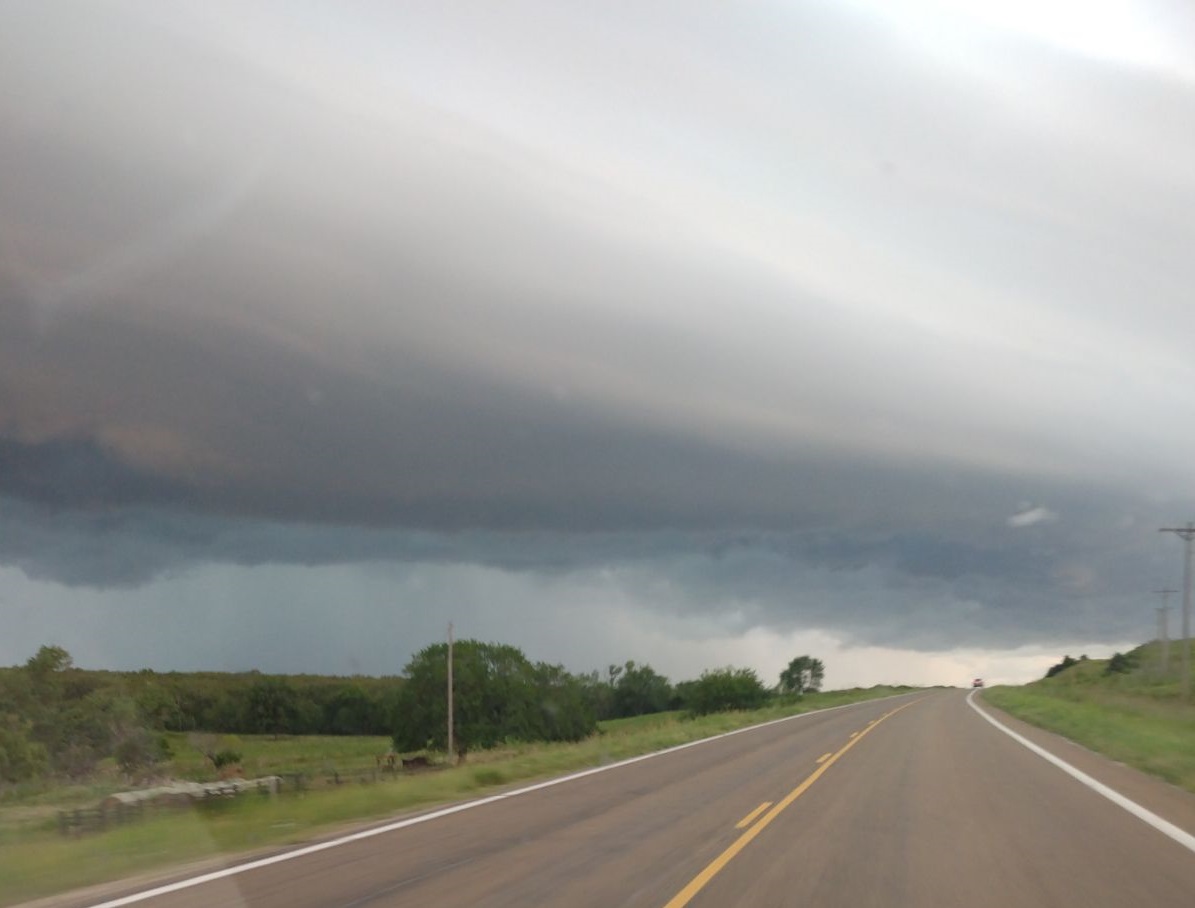
Image Courtesy John Vest
***** Original Story *****
The area could see a storm or two develop today with a limited possibility of severe weather.
According to the National Weather Service, the four-state area could see thunderstorms come through this afternoon through early evening, with a better chance of storms east of I-135. Storms may be able to produce some dime to quarter-size hail. KGGF will provide severe weather coverage if storms develop.